


This weekend I went to one of my local National Monuments, Kasha-Katuwe, aka Tent Rocks National Monument, in Cochiti, New Mexico - which is known for its unique cone-shaped hoodoos. There's a nice 3.3 mile trail that winds through a narrow slot canyon, takes you past the hoodoos, and climbs up to the mesa top for excellent views of the Sangre de Cristo, Jemez, and Sandia mountains.
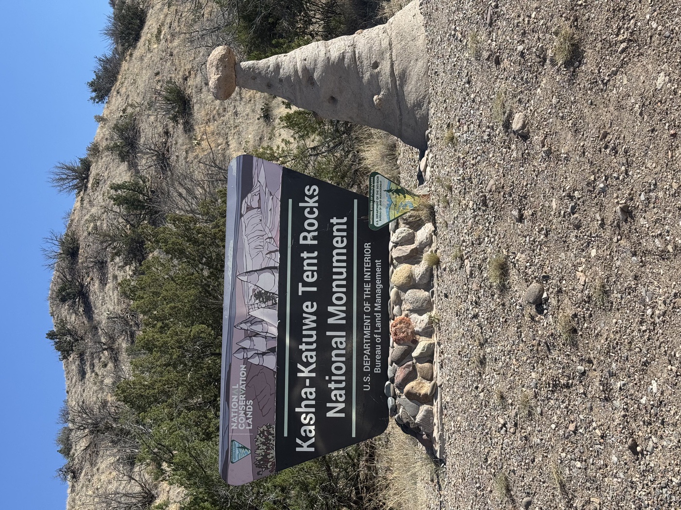
Kasha-Katuwe sits on and around the Cochiti Pueblo homelands and is central to the heritage of the pueblo. So unlike most National Monuments, which are managed by the National Park Service, Tent Rocks is co-managed by the Bureau of Land Management (BLM) and the Pueblo de Cochiti.
To protect the Tent Rocks, visitation runs on a capped reservation system. You'll need to book a timed-entry reservation on Recreation.gov before you go, the monument is only open Thursday through Monday, with entry between 8:00 a.m. and 1:00 p.m. Since the monument is co-managed, there's a fee on the BLM side as well as one paid to the Pueblo. These fees help maintain the trails, roads, and facilities, and help support the Pueblo itself.
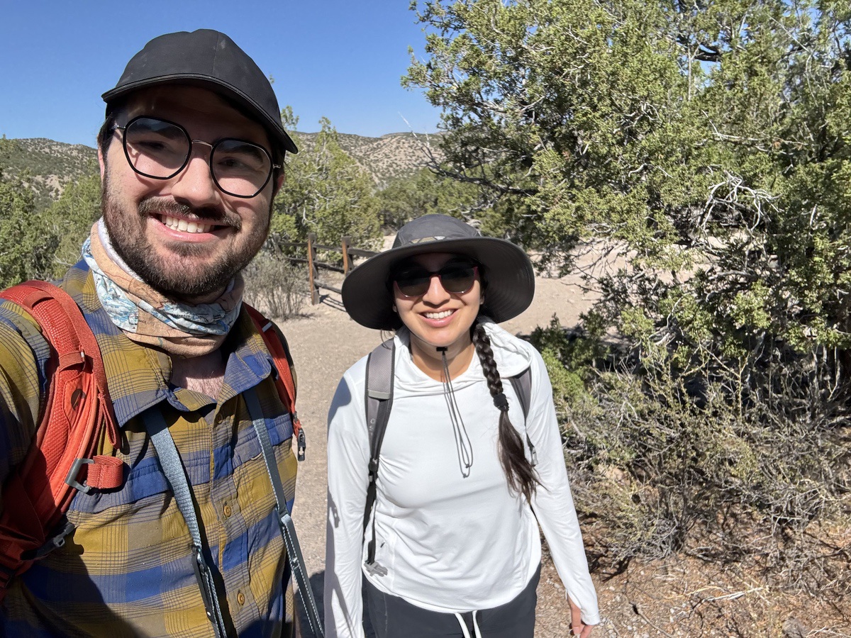
We made our reservations about a week in advance and woke up as early as I could manage to try and beat the heat. You first check in at the Pueblo's visitor center, and from there the Pueblo escorts you to the monument's entrance station, a short drive away. If you forgot to bring water or a trail snack, the visitor center's your last chance to grab something before the trails!
There are 3 cool parts of the hike: the tent rocks, the slot canyon, and the view at the top of the mesa.
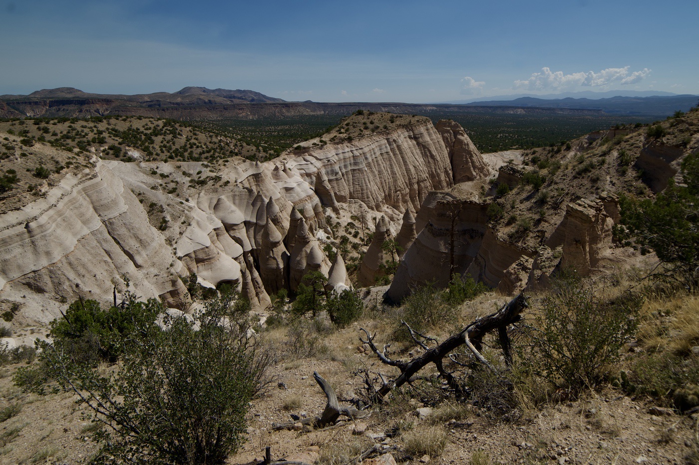
As soon as you pull up you can see the tent rocks in the distance. They're funny looking, almost alien, but fit naturally into the surrounding landscape. These hoodoos are formed in a very specific way. Tent Rocks sits on the southeastern edge of the Jemez volcanic field, and about 6 to 7 million years ago, explosive eruptions in the Jemez Mountains buried this area in layers of pumice, ash, and tuff over 1,000 feet thick. Scattered through those layers are harder chunks of volcanic rock, and when one of those dense boulders ends up sitting on top of the softer tuff, it acts like an umbrella, shielding the material directly beneath it from rain and weathering. The soft rock all around gets worn away, leaving behind a column of tuff capped by its protective boulder, creating the spires and tents.
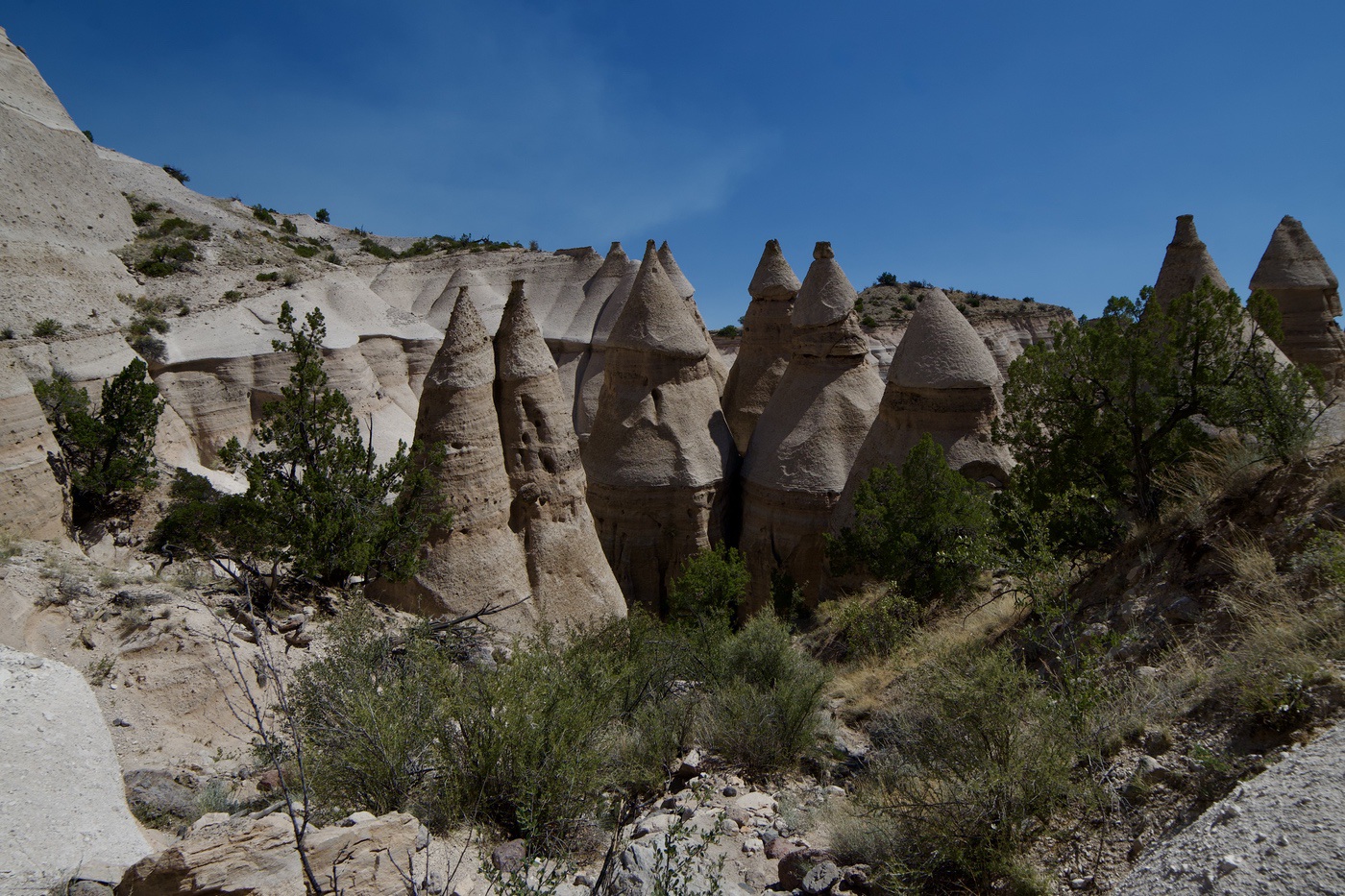
Today, many of these caps have fallen off, and the softer stone underneath is weathering away like the surrounding area, but some boulders are still perched on top of their columns, sheltering them and helping them stand tall.

Slot canyons are pretty rare globally, but fairly common in the American Southwest, and Tent Rocks is the closest one to Santa Fe and Albuquerque. The same erosion that carves the tent rocks also forms the slot canyon, with water rushing off the mesa through the low points, speeding up erosion and cutting the canyon deeper over time.

Toward the end of the trail, you reach the top of the mesa and get all the nearby mountain ranges in one vantage point: the Sangre de Cristos rising behind Santa Fe to the northeast, the Jemez Mountains to the northwest, and the Sandias to the south, standing over Albuquerque. The view is worth the hike, but you're fully exposed up there to the elements and the heat of the day. After grabbing some water and a quick trail snack, we turned around and headed back down.
The trail feels different coming down, you get better, more consistent views of the tent rocks, but the descent is slippery and requires some focused attention. Sabrina had to do a butt scoot at one point.

Before returning to the car, you can take a quick detour to see the cave that Ancestral Puebloans dug into the soft volcanic rock some 600–800 years ago, creating a shelter and home. You can still see soot on the ceiling from fires lit inside, a nice reminder that we're just one of the many peoples who have seen these tent rocks, and just one of many who will see them in the years to come.
It was a great hike, not too strenuous, but bring a Nalgene filled with water because it can get hot (this is July, after all)! Once you get back to your car, there are some great covered picnic tables for a nice lunch, and just up the road is Cochiti Lake, a rec area with swimming, camping, and no-wake boating.
As I keep visiting places around Northern New Mexico, I'm amazed how they're all connected by the Jemez volcanic field, from the cliff dwellings of Bandelier, carved into ash from the caldera's massive eruptions, to the hot springs of Jemez, to the Valles Caldera itself. The volcano shaped this land and everything we see, millions of years later.


